



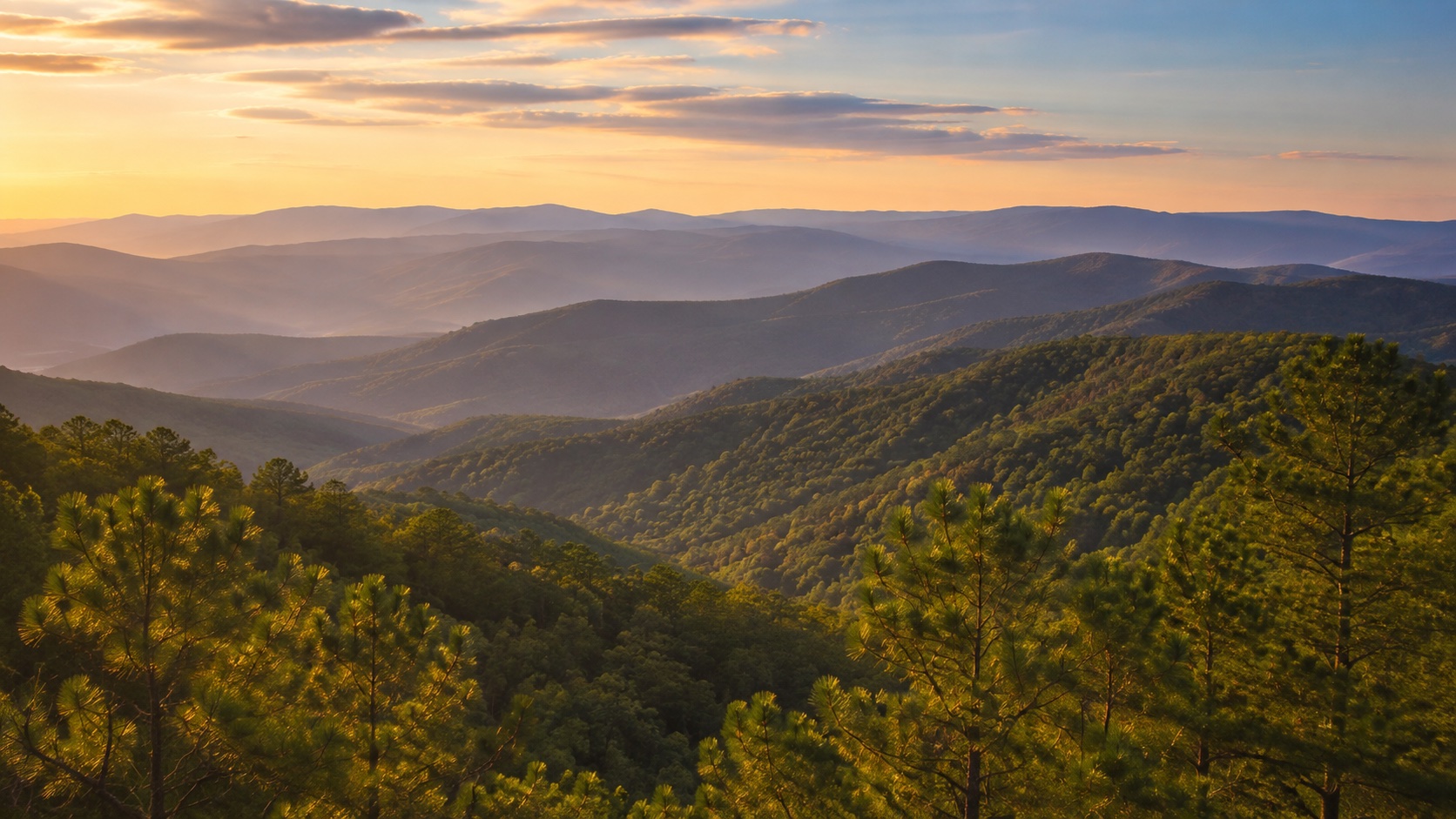
Most Arkansans know the Ouachita Mountains. We have driven through them on the way to Hot Springs, traveled their winding highways, hiked their trails or looked across their forested ridges.
But there is something unusual about the Ouachitas that is easy to miss from the ground.
They run sideways.
While many of North America’s best-known mountain ranges generally stretch from north to south, the ridges of the Ouachita Mountains are predominantly aligned from east to west. It is one of the characteristics that makes the mountains of western and central Arkansas geologically distinctive.
The reason goes back hundreds of millions of years.
The rocks that would eventually become the Ouachitas were originally layers of sediment deposited in ancient marine environments. Over immense periods of time, those sediments became sandstone, shale and other rock. Later, powerful movements of the Earth’s crust compressed those layers, folding and faulting them and ultimately creating the mountain system we see today.
Arkansas geologists describe the Ouachitas as being composed of complexly folded and faulted Paleozoic sedimentary rocks. The forces involved in their formation produced the generally east-to-west pattern still visible across the landscape.
That also means the Ouachitas are fundamentally different from the Ozarks.
The two regions are sometimes casually lumped together as “the mountains” of Arkansas, but geologically they are not the same thing. The Ozarks are largely an uplifted plateau that has been deeply cut by rivers and streams. The Ouachitas were intensely folded and compressed, producing the long ridges and valleys that characterize much of the region.
There is even a difference that can sometimes be seen in the trees.
Because many Ouachita ridges run east to west, they create long south-facing and north-facing slopes. The south-facing sides receive more direct sunlight and tend to be hotter and drier, often favoring pine and drier oak forests. The north-facing slopes tend to remain cooler and moister and can support more hardwood forest.
From the air, those differences can create visible bands of vegetation stretching across the mountains.
The mountains beneath Hot Springs
The unusual geology of the Ouachitas is responsible for one of Arkansas’ most famous natural features.
Hot Springs sits within the Ouachita Mountains, and the folds, fractures and faults within the rock provide pathways for rainwater to move thousands of feet below the surface.
Water can descend roughly 4,500 to 7,500 feet underground, where it is gradually warmed by the natural increase in the Earth’s temperature with depth. It then travels back toward the surface through fractures and faults.
The journey is not quick.
The National Park Service estimates that the thermal water emerging in Hot Springs has traveled underground for more than 4,000 years before returning to the surface at an average temperature of about 143 degrees.
In other words, some of the water flowing from the famous springs today began its underground journey thousands of years before Europeans arrived in North America.
The mountains also contain novaculite, an extremely hard, silica-rich rock historically prized for sharpening stones, along with the quartz crystal deposits for which the region around Mount Ida has become internationally known.
And then there is the Saline River
For residents of Bradley County and other parts of South Arkansas, the Ouachitas are not as distant as they might seem.
One of their products flows directly through our part of the state.
The Saline River begins in the eastern Ouachita Mountains. Its four primary headwater streams, the South Fork, Middle Fork, North Fork and Alum Fork, come together near Benton. From there, the river begins a journey of more than 200 miles toward southern Arkansas.
Along the way, it undergoes an enormous transformation.
Near its headwaters, the Saline is an upland river with clear, faster-moving water flowing across gravel, rock and bedrock. As it travels south, the river leaves the Ouachita Mountains and enters Arkansas’ Gulf Coastal Plain.
By the time it reaches our portion of South Arkansas, it has become the broad, slow-moving river familiar to generations of Bradley County residents. Eventually, the Saline joins the Ouachita River near Felsenthal.
That means the Saline River flowing through our region is, in a very real sense, carrying water out of the Ouachita Mountains and across South Arkansas.
An Arkansas landscape hiding in plain sight
Arkansas is sometimes described simply as having two mountainous regions: the Ozarks in the north and the Ouachitas farther south.
The reality is considerably more interesting.
One is largely a dissected plateau. The other is a true belt of folded and faulted rock whose long ridges were shaped by enormous forces in the Earth’s crust hundreds of millions of years ago.
Those ancient events still affect Arkansas today. They help determine where rivers flow, where pine and hardwood forests grow, where quartz crystals are found and even why naturally heated water rises from the ground in downtown Hot Springs.
And here in South Arkansas, their influence continues downstream.
Every time the Saline River passes through Bradley County on its way toward the Ouachita, it carries with it a small connection to those unusual east-to-west mountains far upstream.