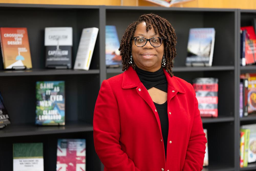
MONTICELLO, Ark. — LaShonda Campbell, collection development librarian for the Fred J. Taylor Library and Technology Center at the University of Arkansas at Monticello (UAM), was recently awarded a $1,000 scholarship from HARRASSOWITZ, a German publishing company, to support her attendance at the 2025 Charleston Conference, held November 3–7 in Charleston, South Carolina. The conference…