
Article from the Arkansas Department of Agriculture:
Parts of Arkansas are experiencing dry conditions, increasing the risk of wildfires. Sparks from activities such as fireworks, outdoor equipment, or open flames can ignite dry vegetation and cause fires to spread quickly.
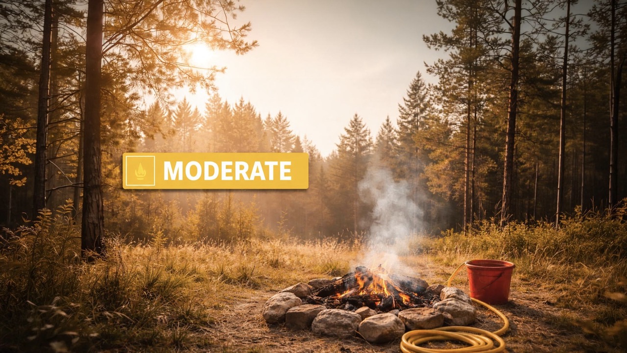
To help Arkansans understand wildfire risk, the Department maintains a county-by-county wildfire danger map with four risk levels: Extreme, High, Moderate, and Low. Risk levels are based on fuel conditions, drought status, and long-term weather forecasts.
Currently, many counties across the state are at moderate risk, with burn bans in effect for the following counties:
- Benton
- Carroll
- Crawford
- Madison
- Washington
Safety Tips
- Avoid outdoor burning and any activity involving open flames, including fireworks, campfires, trash burning, grilling with open flames, and prescribed or controlled burns.
- Use caution when driving or operating machinery in dry areas. Avoid driving over dry grass, ensure trailer chains are off the ground, and do not drive on flat tires.
- Be aware of dry conditions when outdoors. If using fireworks, keep water nearby to quickly extinguish any sparks.
- If you see a fire, call 1-800-468-8834. Avoid flying drones near fires, as they can interfere with firefighting efforts.
Stay up to date on conditions across the state by viewing the county-by-county wildfire map and following the Department on social media.
Current wildfire risk map: